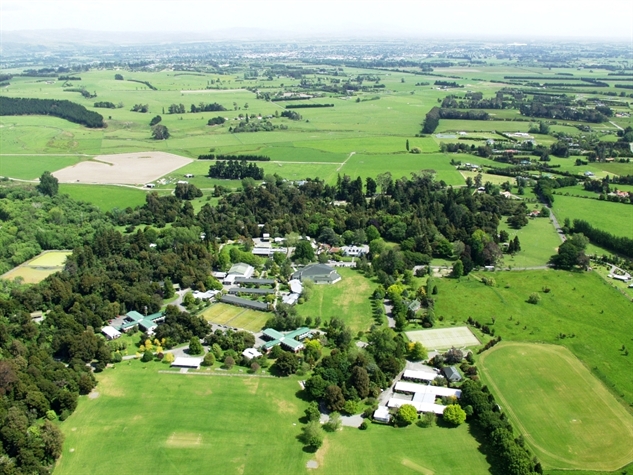
Aerial Photo
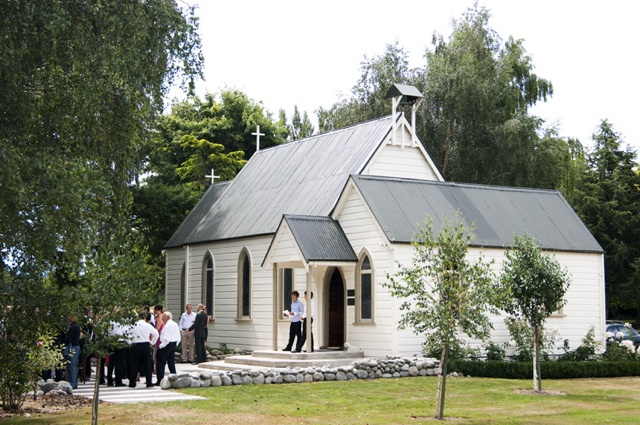
Chapel
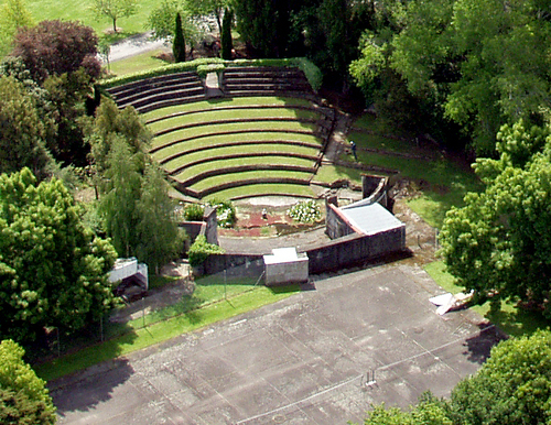
Amphitheatre
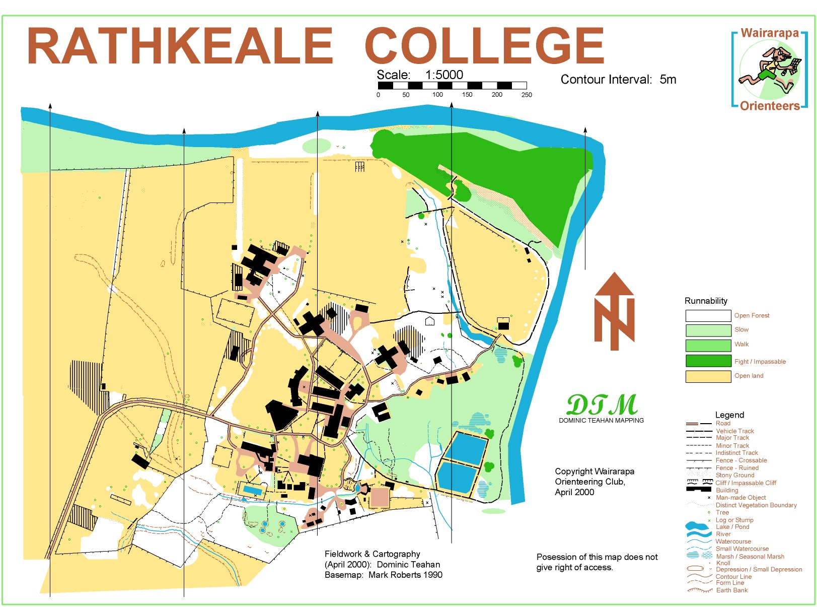
Old Map
| Scale: | 1:4000 |
| Contour Interval: | 2m |
| Planner: | Malcolm Ingham |
| Controller: | Alan Horn |
| Mapper: | Bryan Teahan |
| Details: | New Map of Rathkeale College containing complex buildings, sports grounds, fields and variable bush. Mainly Flat. |
| History (Wikipedia): |
Rathkeale College was established in the 1960s to complete the family of schools managed by the St. Matthew's Schools Trust Board, which already had a girls school in St. Matthews Collegiate and a preparatory school in Hadlow School. The foundation Headmaster was E.J. Norman, a housemaster from Christ's College in Christchurch, while the deputy headmaster was Bruce Hamilton, also of Christ's. The school was established in the homestead of Rathkeale farm, previously owned by the Maunsell family. The Rathkeale homestead is now known as School House. The school was officially opened in 1963 by Governor General Brigadier Sir Bernard Fergusson. The school was officially called St. Matthew's Collegiate School for Boys, but has always been known as Rathkeale College, after the farm on which it was situated. The farm's name comes from Rathkeale in County Limerick, Ireland, where the Maunsell family was originally from. The school's motto is 'nil mortalibus ardui est' which means 'Nothing is too difficult for mortal man'. |
| Gallery: |
Aerial Photo |
Chapel |
Amphitheatre |
Old Map |